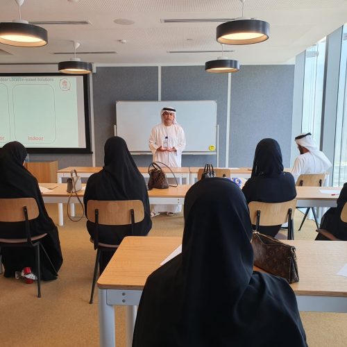
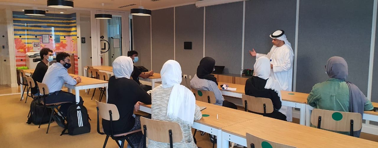
Join our internship program and be part of a transformative experience that propels your career forward. Immerse yourself in a dynamic learning environment where you’ll collaborate with industry experts, tackle real-world challenges, and build the skills and connections needed to excel in your future endeavors.
Internship at Smart Navigation System
Why Smart Navigation System?
We offer a comprehensive curriculum that delves deep into essential topics. You’ll work on real-world projects, receive personalized feedback, and benefit from the experience of our mentors. With a flexible schedule and networking opportunities, our program provides a valuable and supportive environment for your professional growth.
We believe that our internship program provides a unique learning experience that combines education, practical skills, and industry exposure. If you’re ready to take this step in your career, please feel free to contact us with any inquiries or to confirm your participation.


What We Offer :
- Students get hands on experience and access to SNS applications and web services
- Students learn to transfer innovative ideas into valuable products through examples of SNS implemented products
- Students get scientific, practical and local and relevant experience in different discipline from
- SNS experienced team who have worked long time in the Abu Dhabi Municipality
- Attend industry webinars, networking
- One-on-one meetings with professionals
- Help in transferring students projects to profitable UAE made products
- Helps in preparing students to be successful entrepreneurs
- Making students more competitive for the market
Clients & Industry Partnerships
Program Overview
- Indoor Navigation and Positioning
- Learn the fundamentals of indoor positioning systems (IPS)
- Hands-on experience with IPS technologies and tools
- Collaborate with the team to develop indoor navigation solutions
- Supervisory Control and Data Acquisition (SCADA)
- Explore SCADA systems and their role in industrial automation
- Work on SCADA projects, understanding data acquisition and control processes
- Collaborate with engineers to monitor and analyze real-time data
- GIS and Remote Sensing
- Dive into Geographic Information Systems (GIS) principles and applications
- Gain proficiency in GIS software (e.g., ArcGIS, QGIS)
- Introduction to remote sensing techniques and its practical applications
- Analyzing Satellite Images through AI and Deep Learning
-
- Learn about satellite image data sources and formats
- Introduction to AI and deep learning concepts for image analysis
- Hands-on experience with image processing libraries
- Apply AI techniques to analyze satellite images for various purposes


